| population | 15,044 peoples |
|---|---|
| area | 179.76 km² |
| population density | 83.7 peoples/km² |
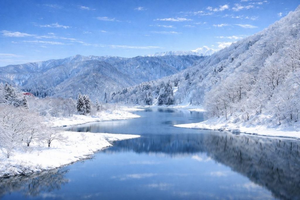
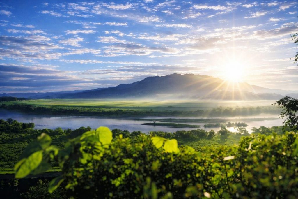
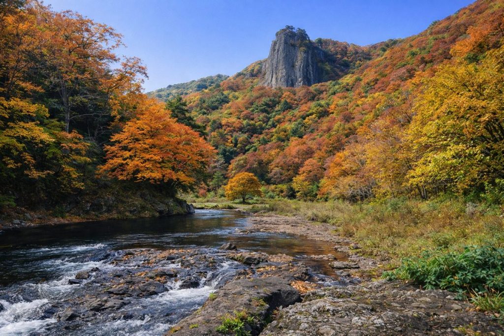
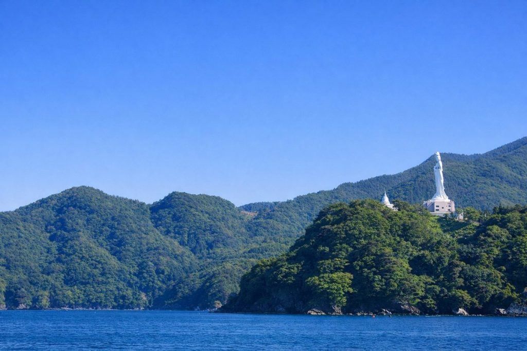
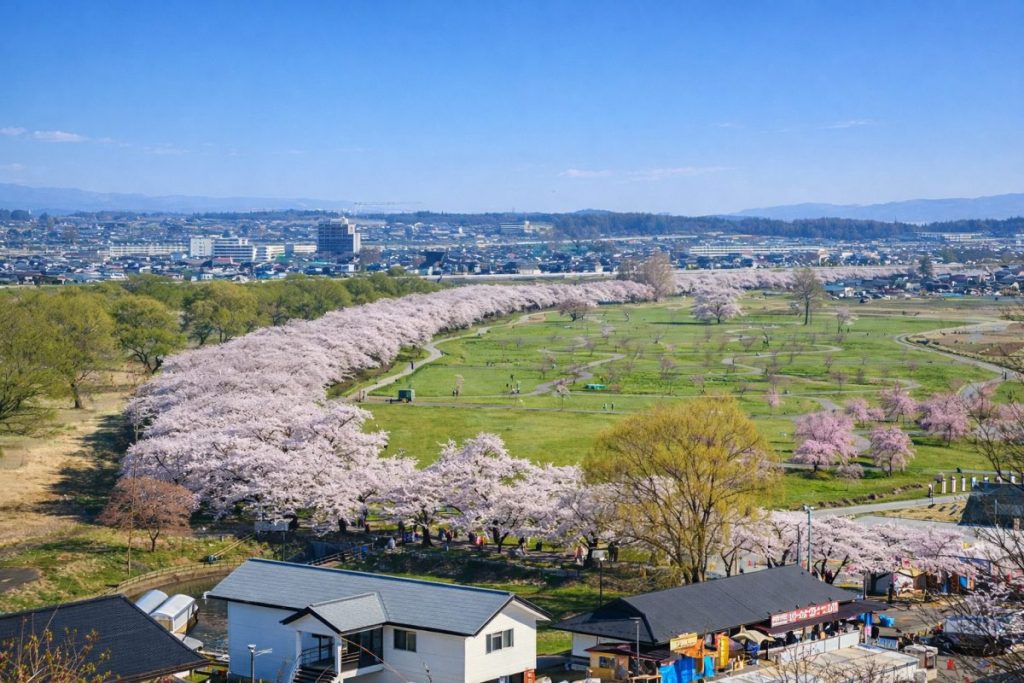
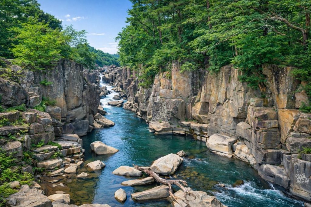
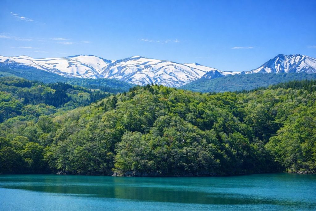
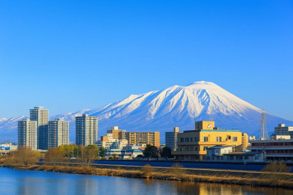
Kanegasaki Town is located in the southwestern inland area of Iwate Prefecture and belongs to Isawa District. Situated between Kitakami City and Oshu City, the town occupies a strategic position for transportation and industry in southern Iwate. The western part of the town extends into the foothills of the Ou Mountains, while the eastern and southern areas are shaped by plains formed along the Kitakami River and the Isawa River. This landscape creates a balanced environment where mountains, rivers, and farmland coexist. Traditionally centered on rice cultivation, Kanegasaki has also developed into one of the prefecture’s leading industrial areas through the establishment of large-scale industrial parks.
Historically, Kanegasaki stood on the boundary between the Date Domain and the Nanbu Domain, leaving behind a rich legacy of border-town culture. The Jonai Suwa-koji district, designated as an Important Preservation District for Groups of Traditional Buildings, preserves the atmosphere of a former castle town. Today, Kanegasaki Town plays a central role in southern Iwate by integrating agriculture, manufacturing, and historical heritage into its community development.
History
The history of Kanegasaki Town dates back to ancient times. The remains of Toriumi-no-saku, believed to have been a fortified site of the Abe clan who ruled the Six Districts of Oshu, are located within the town. The area was a significant stage during the Zenkunen War and Gosannen War, making it a key location in early northeastern Japanese history. During the medieval period, the Kashiyama clan governed the Isawa District from Obayashi Castle. In the early modern era, Kanegasaki marked the northern boundary of the Date Domain, directly bordering the Nanbu Domain, and functioned as an important frontier town.
Following the municipal system reform in 1889, Kanegasaki Village was established, and town status was granted in 1925. In 1955, a merger with Nagaoka Village formed the basis of the present town area. In 2007, the official name notation was standardized as “Kanegasaki Town.” After World War II, industrial development accelerated with the creation of the Iwate Chubu (Kanegasaki) Industrial Park, transforming the town into one of Iwate Prefecture’s major manufacturing centers.
Culture and Traditions
Kanegasaki Town has cultivated a distinctive culture shaped by its historical role as a borderland between the Date and Nanbu domains. The townscape of the Jonai area retains samurai-residence-style layouts that remain part of daily life today. The Jonai Suwa-koji District is officially designated as an Important Preservation District for Groups of Traditional Buildings and is highly regarded for its well-preserved historical environment.
Local festivals and rituals are deeply rooted in the community, including the Kanegasaki Fire Prevention Festival and the Nagaoka Sominsai, which symbolize strong communal bonds. Agricultural traditions and castle-town culture coexist, supported by intergenerational participation in local activities that continue to shape daily life in Kanegasaki.
Local Products
-
Iwate Oshu Beef:
Premium Japanese Black Wagyu produced in the Oshu region, including Kanegasaki. Known for its fine marbling and tenderness, it is highly valued in markets across Japan and served at local restaurants and butcher shops.
Related locations for Oshu Beef -
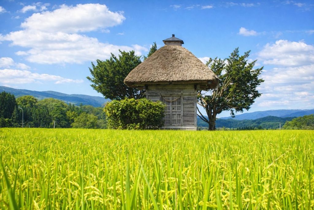
Rice (Southern Iwate Rice):
Rice cultivation thrives on the fertile soils of the Kitakami and Isawa river basins. While most production is distributed within the prefecture, locally grown rice can be purchased at farmers’ markets and roadside stations.
Rice-growing areas in Kanegasaki -
Processed Agricultural Products:
Pickles and processed foods made from local farm produce are sold at roadside stations and local shops. These small-scale products reflect regional flavors and traditions.
Midorino no Sato area
Living and Relocation Information
- Daily Convenience: Administrative offices, medical facilities, and commercial services are concentrated in the town center, providing convenient daily living. Access to Kitakami and Oshu cities is also excellent.
- Child-Rearing Environment: The town maintains elementary, junior high, and high schools, along with kindergartens and childcare facilities, offering a stable educational environment.
- Medical Care: Primary healthcare is provided by Kanegasaki National Health Insurance Clinic, with larger hospitals accessible in nearby cities.
- Housing: Residential areas mainly consist of detached houses, offering a calm and spacious living environment.
- Lifestyle Features: Snowfall occurs in winter, but road maintenance and snow removal systems support daily life.
Climate and Living Environment
- Inland climate with hot summers and cold winters.
- Moderate snowfall compared to heavy snow regions.
- Strong connection between river plains, agriculture, and daily life.
- Environment where nature and industry coexist.
Area Characteristics by District
- Nishine Area: The administrative and commercial center of the town, home to Kanegasaki Town Office.
- Sangajiri Area: An industrial zone where large factories and industrial parks are concentrated.
- Nagaoka Area: A mixed landscape of farmland and residential neighborhoods.
- Rokuhara Area: A community formed around Rokuhara Station.
Access
- Railway: JR Tohoku Main Line: Kanegasaki Station – Rokuhara Station
- Roads: National Route 4
- Buses: Mizusawa–Kanegasaki Line and town-operated rural bus services.
Tourist Attractions
- Jonai Suwa-koji District — An Important Preservation District for Groups of Traditional Buildings.
- Toriumi-no-saku Ruins — A nationally designated historic site.
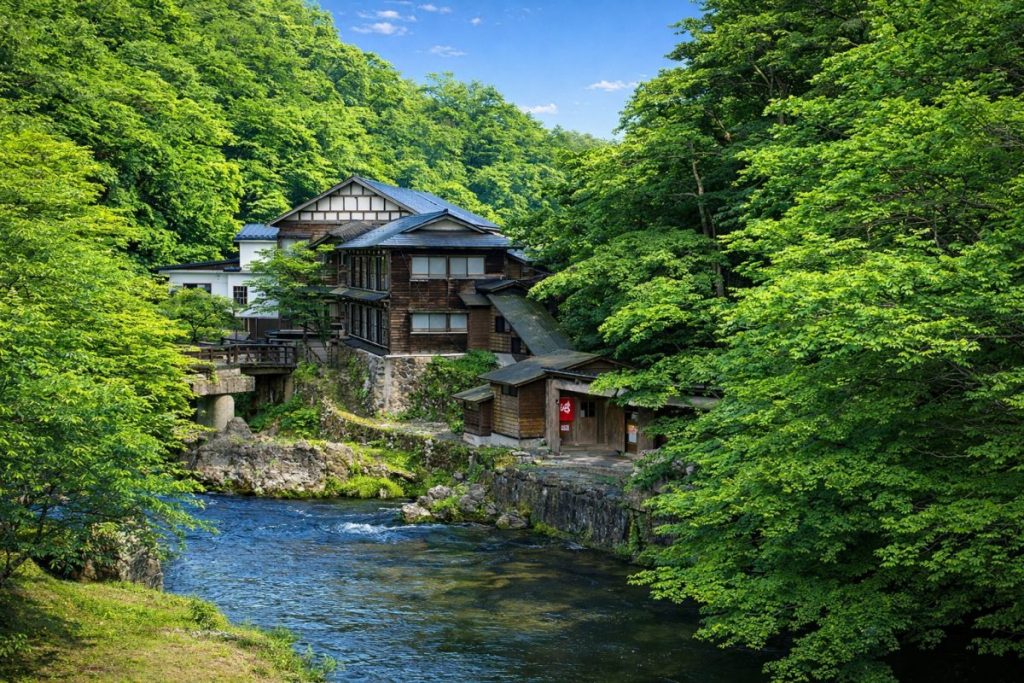
- Michinoku Castle Ruins Hot Spring Midorino no Sato
Related Links
Iwate Major Cities
-

Which Prefecture Is Ninohe City In? [Answer] Iwate Prefecture | Complete Guide to Ninohe City (Sightseeing, Culture, Local Products & Access)
-
Which Prefecture Is Kuji City In? [Answer] Iwate Prefecture | Complete Guide to Kuji City (Sightseeing, Culture, Local Products & Access)
-
Which Prefecture Is Ofunato City In? [Answer] Iwate Prefecture | Complete Guide to Ofunato City (Sightseeing, Culture, Local Products & Access)
-
Which Prefecture Is Miyako City In? [Answer] Iwate Prefecture | Complete Guide to Miyako City (Sightseeing, Culture, Local Products & Access)
-
Which Prefecture Is Kamaishi City In? [Answer] Iwate Prefecture | Complete Guide to Kamaishi City (Sightseeing, Culture, Local Products & Access)
-
Which Prefecture Is Kitakami City In? [Answer] Iwate Prefecture | Complete Guide to Kitakami City (Sightseeing, Culture, Local Products & Access)
-
Which Prefecture Is Hanamaki City In? [Answer] Iwate Prefecture | Complete Guide to Hanamaki City (Sightseeing, Culture, Local Products & Access)
-
Which Prefecture Is Ichinoseki City In? [Answer] Iwate Prefecture | Complete Guide to Ichinoseki City (Sightseeing, Culture, Local Products & Access)
-
Which Prefecture Is Oshu City In? [Answer] Iwate Prefecture | Complete Guide to Oshu City (Sightseeing, Culture, Local Products & Access)
-
Which Prefecture Is Morioka City In? [Answer] Iwate Prefecture | Complete Guide to Morioka City (Sightseeing, Culture, Local Products & Access)
Ken-nan Regional Development Bureau
-
Which Prefecture Is Nishiwaga Town In? [Answer] Iwate Prefecture | Complete Guide to Nishiwaga Town (Sightseeing, Culture, Local Products & Access)
-
Which Prefecture Is Hiraizumi Town In? [Answer] Iwate Prefecture | Complete Guide to Hiraizumi Town (Sightseeing, Culture, Local Products & Access)
-
Which Prefecture Is Kanegasaki Town In? [Answer] Iwate Prefecture | Complete Guide to Kanegasaki Town (Sightseeing, Culture, Local Products & Access)
-
Which Prefecture Is Tono City In? [Answer] Iwate Prefecture | Complete Guide to Tono City (Sightseeing, Culture, Local Products & Access)
-
Which Prefecture Is Kitakami City In? [Answer] Iwate Prefecture | Complete Guide to Kitakami City (Sightseeing, Culture, Local Products & Access)
-
Which Prefecture Is Hanamaki City In? [Answer] Iwate Prefecture | Complete Guide to Hanamaki City (Sightseeing, Culture, Local Products & Access)
-
Which Prefecture Is Ichinoseki City In? [Answer] Iwate Prefecture | Complete Guide to Ichinoseki City (Sightseeing, Culture, Local Products & Access)
-
Which Prefecture Is Oshu City In? [Answer] Iwate Prefecture | Complete Guide to Oshu City (Sightseeing, Culture, Local Products & Access)