The Coastal Regional Development Bureau area is located along the Pacific coast of eastern Iwate Prefecture and consists of four cities—Miyako, Kamaishi, Ofunato, and Rikuzentakata—and six towns and villages: Sumita Town, Otsuchi Town, Yamada Town, Iwaizumi Town, Tanohata Village, and Fudai Village. This region covers the entire Sanriku coastal zone. This page serves as a regional hub, consolidating links to detailed pages for each municipality within the area.
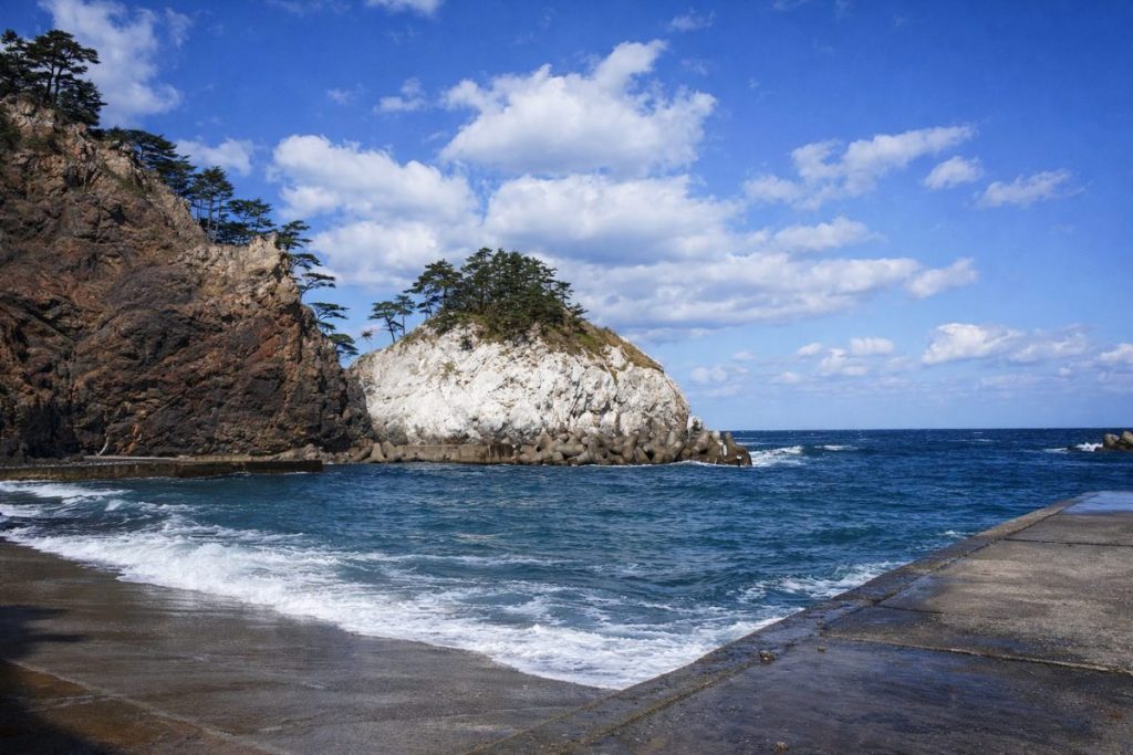
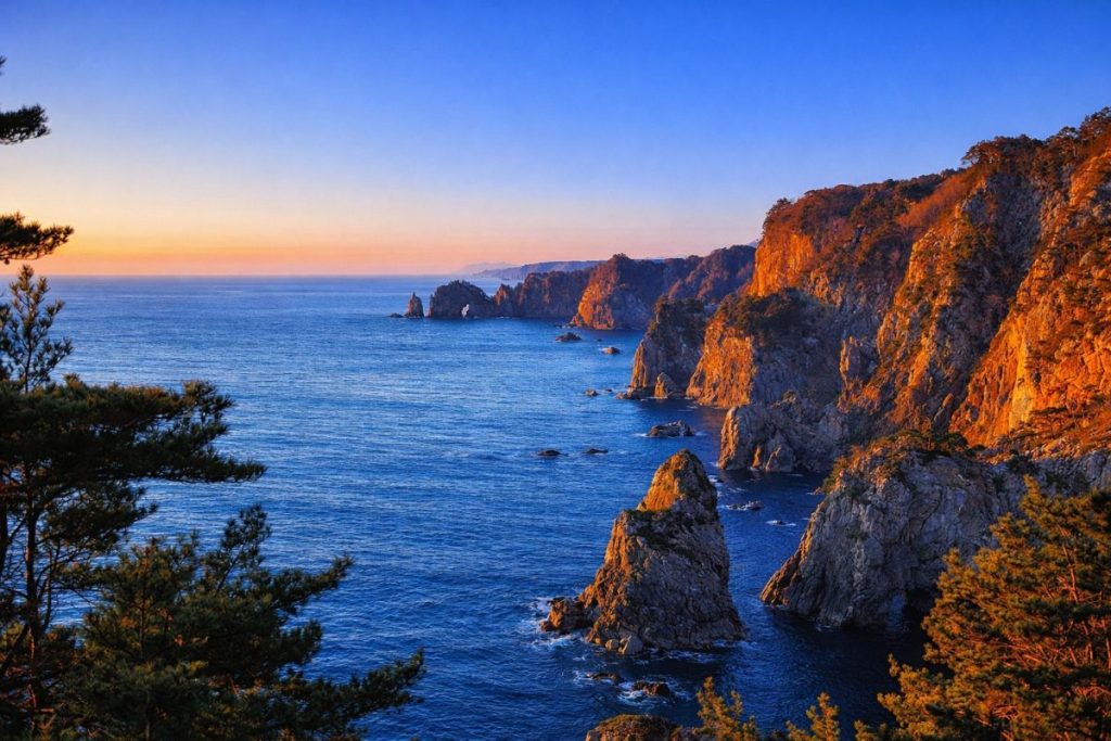
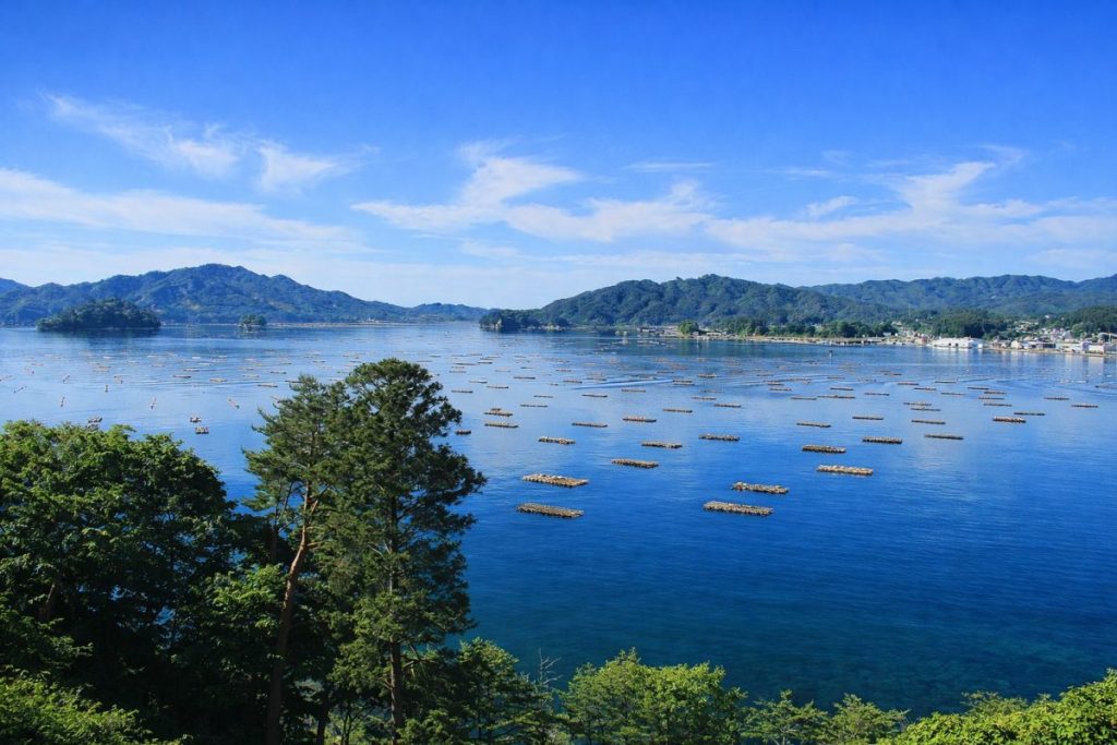
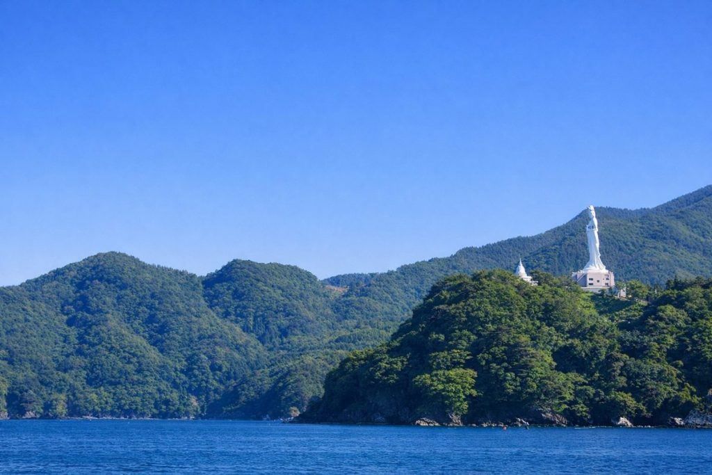
The region extends in a long north–south axis of approximately 180 to 200 kilometers. The Kitakami Mountains rise along the western edge, while the eastern side faces the Pacific Ocean, where a well-developed ria coastline forms a series of deeply indented bays. Communities have historically developed around natural harbors such as Miyako Bay, Kamaishi Bay, and Ofunato Bay, with fishing settlements along the coast and inland villages dispersed through mountainous terrain. The close proximity of mountains, rivers, and sea has fostered a regional structure in which coastal fisheries, forestry, and limited inland agriculture coexist.
Influenced by the Pacific coastal climate, summers are generally cool and often foggy, while winters experience relatively little snowfall compared to inland areas, though snow accumulation does occur in mountainous zones. The Sanriku Coastal Road, together with National Routes 45 and 106, forms the principal transportation network connecting coastal communities and linking them to the inland region. Following the Great East Japan Earthquake, reconstruction and redevelopment emphasizing disaster prevention and mitigation have progressed, positioning this area as a core region for recovery, exchange, and tourism along the Iwate coastline.
-
Which Prefecture Is Fudai Village In? [Answer] Iwate Prefecture | Complete Guide to Fudai Village (Sightseeing, Culture, Local Products & Access)
-
Which Prefecture Is Tanohata Village In? [Answer] Iwate Prefecture | Complete Guide to Tanohata Village (Sightseeing, Culture, Local Products & Access)
-
Which Prefecture Is Iwaizumi Town In? [Answer] Iwate Prefecture | Complete Guide to Iwaizumi Town (Sightseeing, Culture, Local Products & Access)
-
Which Prefecture Is Yamada Town In? [Answer] Iwate Prefecture | Complete Guide to Yamada Town (Sightseeing, Culture, Local Products & Access)
-
Which Prefecture Is Otsuchi Town In? [Answer] Iwate Prefecture | Complete Guide to Otsuchi Town (Sightseeing, Culture, Local Products & Access)
-
Which Prefecture Is Rikuzentakata City In? [Answer] Iwate Prefecture | Complete Guide to Rikuzentakata City (Sightseeing, Culture, Local Products & Access)
-
Which Prefecture Is Ofunato City In? [Answer] Iwate Prefecture | Complete Guide to Ofunato City (Sightseeing, Culture, Local Products & Access)
-
Which Prefecture Is Miyako City In? [Answer] Iwate Prefecture | Complete Guide to Miyako City (Sightseeing, Culture, Local Products & Access)
-
Which Prefecture Is Kamaishi City In? [Answer] Iwate Prefecture | Complete Guide to Kamaishi City (Sightseeing, Culture, Local Products & Access)


